Nature Travel Guide for Exploring Forests and Mountains
Exploring forests and mountains offers some of the most rewarding outdoor experiences available. Whether you’re drawn to misty mountain peaks or ancient woodland trails, a thoughtful approach ensures safety, enjoyment, and minimal environmental impact. This guide covers essential planning steps, gear recommendations, trail etiquette, and real-world examples to help you make the most of your next nature adventure. From day hikes to multi-day treks, you’ll find practical advice tailored for general travelers seeking authentic connections with natural landscapes.
Why Explore Forests and Mountains?
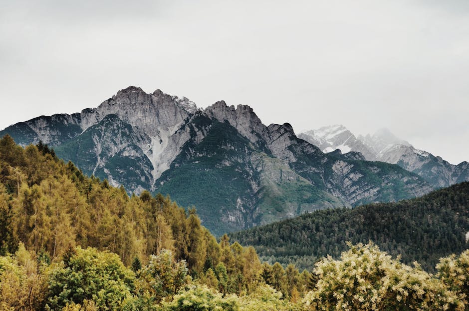
Forests and mountains provide more than scenic views—they offer mental clarity, physical challenge, and a sense of discovery. Research consistently links time in nature to reduced stress and improved mood. Unlike crowded tourist spots, these environments invite solitude and reflection.
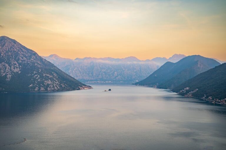
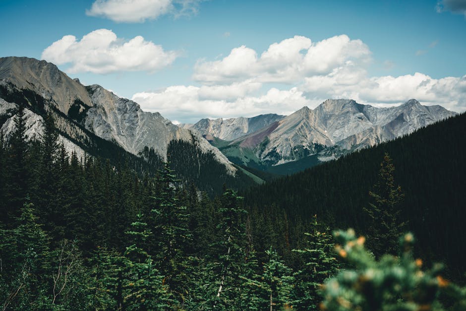
Mountains often feature dramatic elevation changes, alpine meadows, and panoramic vistas. Forests, especially old-growth ones, host rich biodiversity, quiet canopy cover, and seasonal changes in foliage. Both settings support unique ecosystems and cultural histories worth respecting and preserving.
Popular destinations like the Appalachian Trail in the U.S., Japan’s Kumano Kodo, or Switzerland’s Alpine passes demonstrate how diverse these experiences can be. Each region offers distinct flora, fauna, and trail conditions, making preparation essential.
Planning Your Nature Adventure
Choose the Right Destination
Start by matching your fitness level and time availability to the terrain. A weekend hiker might enjoy the Smoky Mountains’ well-marked trails, while experienced trekkers may aim for the Dolomites or Patagonia.
Consider seasonal factors. Spring brings wildflowers but muddy trails; summer offers long days but crowded paths; fall delivers crisp air and vibrant colors; winter requires specialized gear and avalanche awareness.
Check local regulations. Some parks require permits, limit group sizes, or restrict camping. For example, Yosemite National Park limits overnight backpacking permits, so apply early.
Research Trail Conditions
Trail conditions change frequently due to weather, maintenance, or wildlife activity. Always consult official park websites or ranger stations before departure.
Look for recent hiker reports on platforms like AllTrails or local hiking forums. These often include photos, difficulty updates, and notes on water availability or trail closures.
Be aware of elevation gain. A trail labeled “moderate” might involve steep climbs that challenge unprepared hikers. Use elevation profiles to assess effort required.
Create a Realistic Itinerary
Overambitious plans lead to exhaustion or injury. For day hikes, aim for 5–10 miles depending on terrain. Multi-day trips should include rest days and flexible schedules.
Factor in breaks, photo stops, and unexpected delays. A 7-mile hike with 2,000 feet of elevation gain may take 4–6 hours, not just the distance suggests.
Share your itinerary with someone reliable. Include your route, expected return time, and emergency contacts. This simple step can be lifesaving.
Essential Gear for Forest and Mountain Travel
Footwear and Clothing
Sturdy, broken-in hiking boots provide ankle support and traction on uneven ground. Trail runners work for well-maintained paths but offer less protection.
Dress in layers. Start with moisture-wicking base layers, add insulating mid-layers like fleece, and finish with a waterproof outer shell. Avoid cotton—it retains moisture and increases hypothermia risk.
Wear a wide-brimmed hat and UV-protective sunglasses. Even on cloudy days, mountain UV exposure is intense due to altitude.
Backpack and Navigation Tools
A 20–35 liter daypack suits most hikes. For overnight trips, choose a 50–70 liter pack with a hip belt for weight distribution.
Always carry a map and compass—even if you use GPS. Batteries die, signals drop, and devices fail. Learn basic navigation skills before relying on technology.
Download offline maps on your phone as a backup. Apps like Gaia GPS or Maps.me work without cell service.
Safety and Survival Items
Pack the Ten Essentials: navigation, sun protection, insulation, illumination, first-aid supplies, fire starter, repair kit, nutrition, hydration, and emergency shelter.
Carry a whistle and signal mirror for emergencies. Three blasts of a whistle is the universal distress signal.
Bring a lightweight emergency bivy or space blanket. These weigh little but can prevent hypothermia if stranded overnight.
Staying Safe in Remote Areas
Weather Awareness
Mountain weather changes rapidly. Afternoon thunderstorms are common in summer, and temperatures drop significantly at higher elevations.
Check forecasts from reliable sources like the National Weather Service or Mountain Forecast. Postpone trips if high winds, lightning, or heavy rain are predicted.
Know the signs of hypothermia (shivering, confusion, slurred speech) and heat exhaustion (dizziness, nausea, rapid pulse). Act immediately if symptoms appear.
Wildlife Encounters
Research local wildlife before your trip. In North American forests, bears and mountain lions require specific precautions.
Store food in bear-proof containers or hang it properly—never keep food in your tent. Make noise while hiking to avoid surprising animals.
If you encounter a bear, stay calm, speak firmly, and back away slowly. Do not run. For mountain lions, maintain eye contact and make yourself appear larger.
Hydration and Water Safety
Dehydration impairs judgment and increases injury risk. Drink water regularly, even if you don’t feel thirsty.
Never drink untreated water from streams or lakes. Use a filter, purification tablets, or boil water for at least one minute (longer at high altitude).
Carry at least 2 liters of water for a full-day hike. Add more in hot or dry climates, or if the trail lacks reliable water sources.
Leave No Trace Principles
Travel on Durable Surfaces
Stay on marked trails to prevent soil erosion and protect plant life. Cutting switchbacks damages vegetation and creates new paths.
Camp only in designated areas when possible. In backcountry zones, use existing campsites to minimize impact.
Avoid trampling fragile alpine vegetation. These plants grow slowly and take years to recover from damage.
Dispose of Waste Properly
Pack out all trash, including food scraps and toilet paper. Use a zip-top bag for used wipes and hygiene products.
For human waste, dig a cathole 6–8 inches deep and at least 200 feet from water sources. Cover and disguise the hole when finished.
Use biodegradable soap sparingly and wash dishes and yourself away from streams and lakes.
Respect Wildlife and Other Visitors
Observe animals from a distance. Feeding wildlife alters natural behaviors and can make animals dependent on humans.
Keep voices low and avoid loud music. Other hikers seek quiet and natural sounds.
Yield to uphill hikers and step aside for faster travelers. Step off the trail on the downhill side when encountering horses or pack animals.
Best Practices for Different Terrains
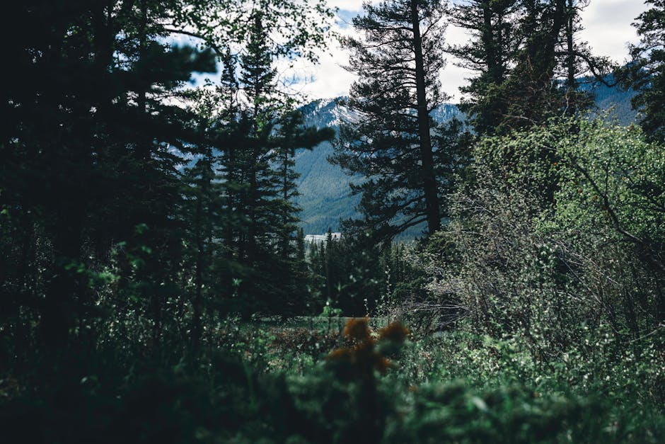
Forest Trails
Forests often have dense tree cover, which can obscure trail markers. Pay close attention to blazes, signs, or cairns.
Watch for roots, rocks, and mud. Wet leaves can be slippery. Use trekking poles for stability on steep or uneven sections.
Be mindful of ticks and poison ivy. Wear long pants and check your body after hiking. Carry tweezers and antiseptic for tick removal.
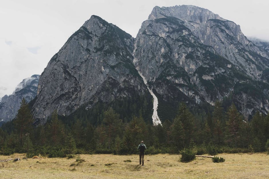
Mountain Paths
High-altitude trails demand acclimatization. Ascend gradually and allow time for your body to adjust to lower oxygen levels.
Rocky terrain increases fall risk. Test handholds and footholds before committing weight. Avoid loose scree when possible.
Avalanche risk exists in snowy mountains during winter and early spring. Check avalanche forecasts and avoid slopes steeper than 30 degrees if unsure.
Real-World Examples and Case Studies
The Pacific Crest Trail (PCT)
Stretching 2,650 miles from Mexico to Canada, the PCT crosses deserts, forests, and mountain ranges. Most thru-hikers take 4–6 months, requiring careful resupply planning.
Water scarcity in Southern California means carrying extra weight. In the Sierra Nevada, snowmelt creates swift streams that require safe crossing techniques.
This trail illustrates the importance of seasonal timing. Starting too early risks snowbound passes; starting too late means extreme heat in the desert.
Japan’s Yakushima Island
This UNESCO World Heritage site features ancient cedar forests and moss-covered trails. The island receives over 200 inches of rain annually, creating lush but slippery conditions.
Trails like the route to Jomon Sugi require river crossings and can be impassable after heavy rain. Local guides recommend checking weather and trail status daily.
Yakushima shows how cultural respect matters. Many trails pass through sacred sites. Visitors are expected to follow local customs and avoid loud behavior.
The Scottish Highlands
The Highlands offer rugged beauty but unpredictable weather. Trails like the West Highland Way are well-marked but exposed to wind and rain.
Midges—tiny biting insects—are common in summer. Carry a head net and insect repellent. They’re most active at dawn and dusk.
This region highlights the value of local knowledge. Hiring a guide or joining a group can enhance safety and enrich the experience with historical context.
Photography and Journaling Tips
Capturing the Landscape
Golden hour—shortly after sunrise and before sunset—offers soft, warm light ideal for landscapes. Avoid harsh midday sun that creates strong shadows.
Use a polarizing filter to reduce glare on water and enhance sky contrast. A tripod helps with long exposures in low light.
Focus on foreground elements like rocks or flowers to add depth. Include people for scale, but avoid distracting from the natural scene.
Documenting Your Journey
Keep a lightweight journal to record trail conditions, wildlife sightings, and personal reflections. Notes help you remember details and improve future trips.
Use waterproof paper or a phone app with offline capability. Include dates, locations, and weather conditions for context.
Share experiences responsibly online. Avoid tagging exact locations of sensitive habitats or rare species to prevent overcrowding.
Frequently Asked Questions
What should I do if I get lost on a trail?
Stop, stay calm, and assess your location. Use your map and compass to reorient. If unsure, retrace your steps to the last known point. If night falls, stay put, use your emergency shelter, and signal for help at first light.
How much water should I carry for a day hike?
A general rule is 1 liter per 2 hours of moderate hiking. Increase this in hot weather, high altitude, or dry climates. Always refill at reliable sources and treat water before drinking.
Can I hike alone in remote forests and mountains?
Yes, but it increases risk. Inform someone of your plans, carry emergency gear, and choose well-traveled trails. Consider a personal locator beacon (PLB) for truly remote areas.